GeoMapApp
The current version of GeoMapApp is 3.7.4 (Released August, 2024)
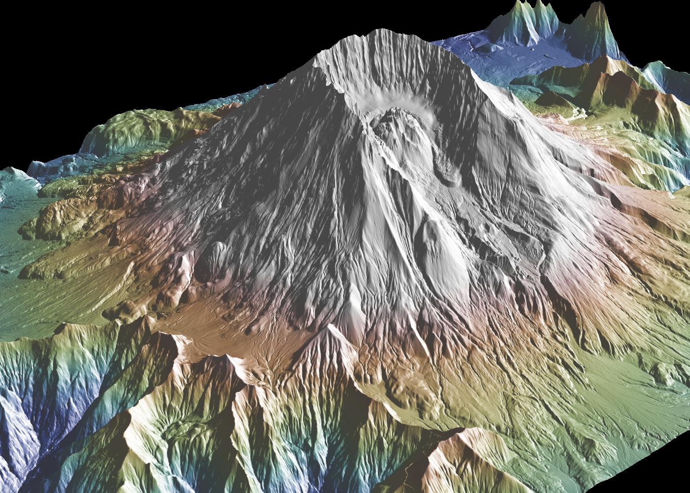
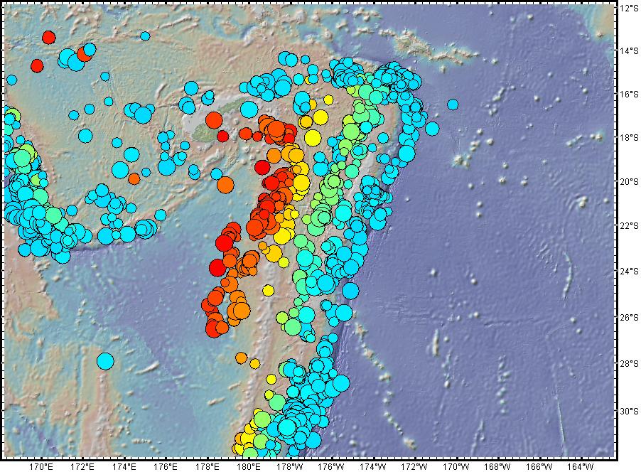
GeoMapApp is a map-based application for browsing, visualizing and analyzing a diverse suite of curated global and regional geoscience data sets. These cover geophysics, geology, geochemistry, physical oceanography, climatology, and more.


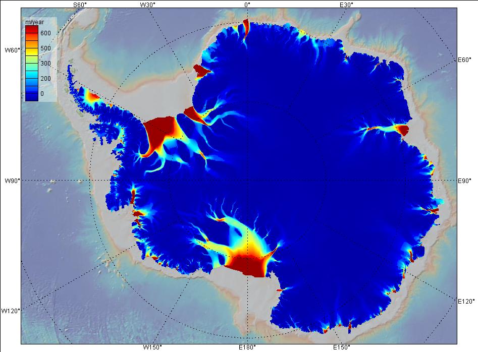
GeoMapApp provides data layering, display customization and analytical tools to support the analysis of multidisciplinary data sets. Choose from Mercator, North polar and South polar projections. Save the images for papers and presentations.
Users can import their own grids, tabular data, images, and shapefiles. For imported grids, the color palette, shaded relief, and contouring are customizable; users may also extract profiles and digitize grids. Imported table values can be edited and the map symbol, color and size are adjustable. Tabular values may be plotted on a graph and captured and saved with a lasso function.
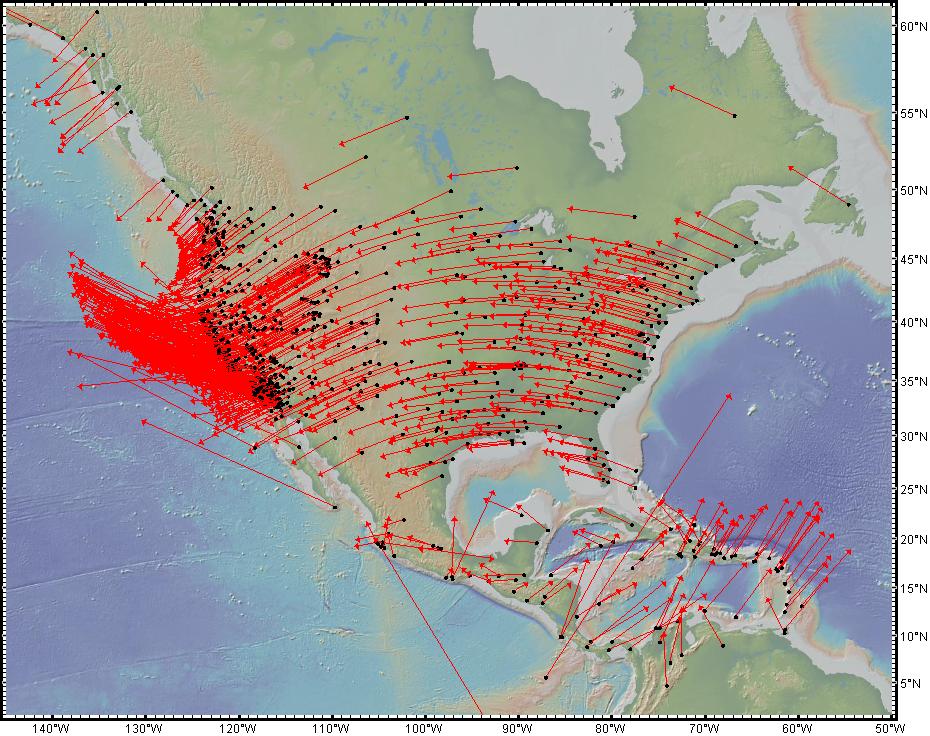
Several custom portals provide visualization and basic analysis for data types that typically require specialist software. Examples include seismic reflection profiles and geodetic velocity vectors.
The GMRT base map provides multi-resolution global elevation data upon which other data sets can be layered.
GeoMapApp is developed and maintained as part of the Marine Geoscience Data System (MGDS) at Lamont-Doherty Earth Observatory of Columbia University.


System requirements
GeoMapApp runs with Java under the Windows, Mac OS X, Linux and Unix/Solaris operating systems. Use the Download Links on the left to install GeoMapApp. Alternatively, if you are unable to install the application, you may launch GeoMapApp directly from the internet using a Java-enabled web browser. Click here to launch GeoMapApp using Java WebStart.
GeoMapApp in the community
GeoMapApp is widely used by geoscience educators and researchers as a tool for discovering and integrating multidisciplinary earth science research data, for proposal preparation and meeting presentations and talks, for the generation of figures for publications, and for a broad range of education practices at the graduate, undergraduate and high-school level.
Learn More About GeoMapApp
- View the GeoMapApp Video Tutorials.
- See our GeoMapApp Announcements.
- Browse recently-added data sets.
- Learn how to cite GeoMapApp.
- Post questions and comments on the GeoMapApp User Forum.
Join our Mailing List
The GeoMapApp mailing list provides users with information on releases and updates. It's easy to subscribe, just send a request! You may also view our archive of past GeoMapApp announcements.

